Population and Land
Information on the current conditions and trends in human population, land use, development, and land protection in the Methow Valley.
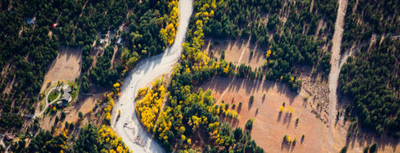
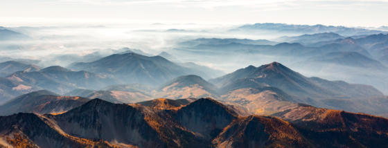
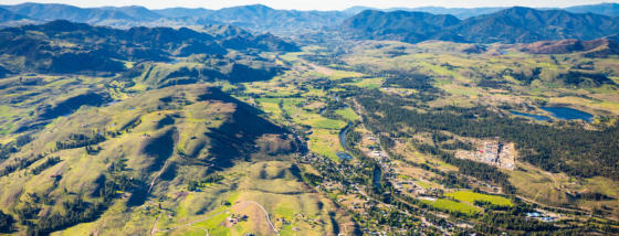
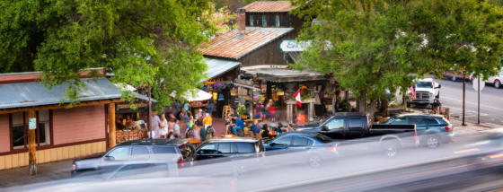
The Methow Valley is facing increased development pressure and significant public policy decisions are being made about land use.
We want to be a trusted provider of relevant data about the Methow Watershed and its people, so that local non-profits, municipalities, government agencies, elected officials, and community members have a consistent source of data and information to aid in making informed decisions about actions to take to support the Methow.
For these reasons, we have launched the State of the Methow project, a data collection and dissemination project about the Methow Watershed and its people. At the Methow Conservancy, we have focused on creating and sharing updatable information on the current conditions and trends in the human population, land use, development, and land protection, referred to as the Methow Population and Land (PAL) project, which is a subcomponent of the State of the Methow project. In addition to providing PAL project information, these State of the Methow webpages also provide links to outside sources of information and reports on other aspects of the health of the Methow Watershed and its people (e.g., socio-economic indicators, threatened and endangered species, wildfire trends, etc.). The project is a “living project,” and the pages below will be updated with new information as it becomes available.
Information on the current conditions and trends in human population, land use, development, and land protection in the Methow Valley.
A comprehensive study of economic, demographic, structural, and social changes.